Trail Maps
On-Site Maps
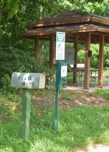
We maintain free paper trail maps on-site for Vernon Rails-To-Trails (Church Street and Tunnel Road parking lots), Valley Falls, Walker’s Reservoir, Dart Hill North (parking site near the Water Treatment Plant), and Dart Hill South (Dart Hill South parking lot).
Rails-To-Trails Maps
The Vernon GIS Department has created a map of the Vernon Rails-To-Trails system for your use. Click here to download and print the map. Hard copies are available at Pedal Power and the Vernon Parks and Recreation Office.
Other Maps
We have developed electronic copies of maps for five trails: Dart Hill North, Dart Hill South, Walker’s Reservoir, Vernon Center Middle School, Valley Falls and for those who are not familiar with trail maps Valley Falls (How to read this trail map) which can serve as a primer on how to read a trail map. These trail maps are shown below in pdf format and are all two sided, print on 8 ½” x 11” paper and are tri-fold for carrying ease.
To download and print the maps:
Set Print format to Landscape, except page 2 for “How to Read Valley Falls Map” which is Portrait. Click on the name of the trail to view your map choice. The maps are all two-page documents.
- Print page one, only.
- Remove from printer and reinsert in the paper feed, so that page two will print on the blank side.
- Print page two, only.
- Fold into thirds, so that the view of the park bench is the front page.
Dart Hill North (Latest version, March 25, 2019)
Dart Hill South (Latest version, March 25, 2019)
Walker’s Reservoir (Latest version, January 9, 2012)
Vernon Center Middle School (Latest version, January 9, 2012)
Valley Falls (Latest version, January 9, 2012)
How to read Valley Falls Map (Latest version, January 9, 2012)
Take a Hike! We mean that in a good way.
